
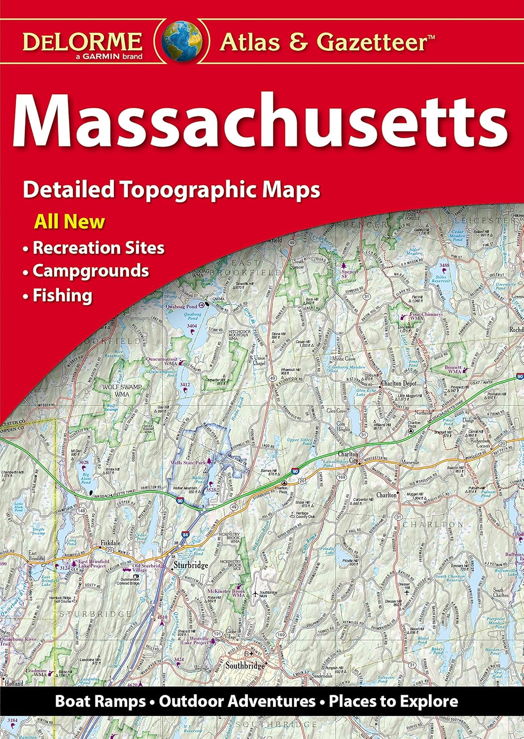
Features
Regularly updated, full-color maps
48% larger map with a bigger type size than the Rand McNally Folded Map
Clearly labeled Interstate, U.S., state, and county highways
Indications of county boundaries, schools, shopping malls, parks, golf courses, hospitals, airports, and points of interest
Mileage and driving times map
Detailed index
Copyright 2023
Coverage Area Detailed maps of: Albany/Schenectady, Binghamton, Buffalo/Niagara Falls, Central Long Island, Elmira, New York City & Vicinity, Manhattan, Rochester, Syracuse, Utica
Discover More Best Sellers in Reference
Shop Reference


Rand McNally Easy To Read Folded Map: Massachusetts State Map
 Reference - Rand McNally Easy To Read Folded Map: Massachusetts State Map

Rand McNally Easy To Fold: Georgia State Laminated Map
Reference - Rand McNally Easy To Fold: Georgia State Laminated Map
 Reference - Thomas Guide: Los Angeles and Orange Counties Street Guide 56th Edition (The Thomas Guide StreetGuides Los Angeles & Orange County)

United States, California and Nevada Map (National Geographic Adventure Map, 3119)
Reference - United States, California and Nevada Map (National Geographic Adventure Map, 3119)

Baja California Road and Recreation Atlas - 2nd Edition, 2024 (Benchmark)
Reference - Baja California Road and Recreation Atlas - 2nd Edition, 2024 (Benchmark)

DeLorme Atlas & Gazetteer: South Carolina (Delorme Atlas & Gazeteer)
Reference - DeLorme Atlas & Gazetteer: South Carolina (Delorme Atlas & Gazeteer)

RMC 32" x 50" Classic United States USA and World Wall Map Set (Classic Edition)
Reference - RMC 32" x 50" Classic United States USA and World Wall Map Set (Classic Edition)
